Pangarchulla Trek

  • 6 Days
  • Ask for Refund
  • Adult

  • Child

  • Infant

From 200.00 Per Adult
From 140.00 Per Child
From 100.00 Per Infant

Description

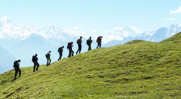
Pangarchulla and Kuari Pass share the same approach trail for the first few days. Then they diverge, and everything changes. Kuari is a pass — you cross it. Pangarchulla is a summit — you climb it. That distinction matters more than it sounds.

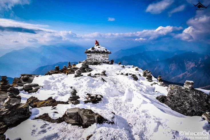
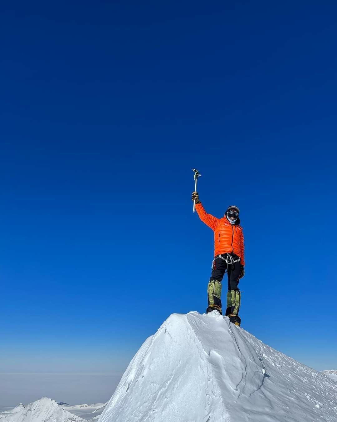
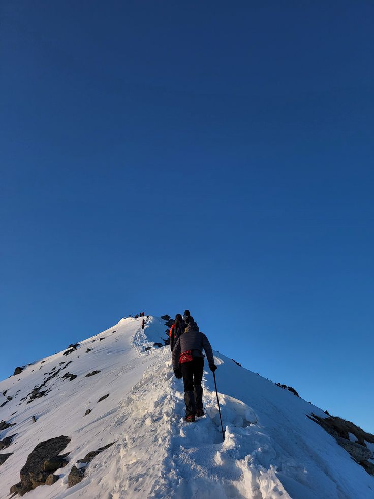
A summit at 4,590 metres means crampons, an ice axe, a pre-dawn start in serious cold, and a final push on steep snow and loose rock. It also means the view from the top is something a Kuari Pass trekker simply does not get. Because Pangarchulla stands isolated above the surrounding ridgeline, you can see in every direction simultaneously — Nanda Devi, Trishul, Kamet, Chaukhamba, Dronagiri, Mana, and on a clear day, the faint presence of Kedarnath to the east. It is a 360-degree panorama at altitude, and there are very few places in India where you can access something like that on a moderate-difficulty itinerary.

This trek is best suited to people who have already done one or two easier Himalayan treks and want something that genuinely tests them. The night at high camp before the summit push is the real filter — 13,800 feet, temperatures that can reach -15°C, and the knowledge that the hardest part starts at 4 AM the next morning.

Trek at a Glance

DetailInfo
Total Distance~27 km
Summit Altitude15,069 ft (4,590 m)
High Camp Altitude~13,800 ft
Daily Walking Time5–8 hours
Experience RequiredAt least one prior Himalayan trek recommended
Nearest Railway StationRishikesh
Nearest AirportJolly Grant, Dehradun

Why Pangarchulla Trek Stands Apart

It Is a Real Summit

Most treks accessible to non-climbers end at passes or ridgelines. Pangarchulla is a proper peak — you reach the actual top of the mountain. That summit feeling, standing where the mountain simply runs out of height, is qualitatively different from crossing a pass. People who have done both will tell you the same thing.

The Pre-Dawn Climb

Starting at 4 AM in darkness, with crampons on and the mountain stretching up in front of you, is one of those experiences that feels intensely alive in the moment and retrospectively very satisfying. The first light of the sun hitting the surrounding peaks while you are still climbing is a kind of visual reward the midday trekker never sees.

The Complete Himalayan Panorama

From the summit, the visible peaks include Nanda Devi (7,816 m), Kamet (7,756 m), Trishul (7,120 m), Chaukhamba (7,138 m), Dronagiri (7,066 m), and Mana (7,272 m). The view covers the entire central Garhwal skyline in one sweep. Very few accessible summits in India deliver this.

How to Reach Joshimath

By Train

Rishikesh and Haridwar are the nearest railheads — well connected from Delhi and other major cities. From either town, shared cabs and state buses run to Joshimath via Chamoli. The drive follows the Alaknanda river and takes roughly 9 hours.

By Road

From Delhi, drive via Haridwar, Rishikesh, and the Alaknanda highway through Devprayag, Rudraprayag, Karnaprayag, and Chamoli to Joshimath. Around 500 km total from Delhi.

By Air

Jolly Grant Airport in Dehradun, then a full day’s drive to Joshimath.

Gear and Preparation

What You Must Have

Ice axe and crampons are mandatory for summit day — most operators provide these, but confirm before booking. Sleeping bag rated to at least -15°C for the high camp night. Layered clothing system: moisture-wicking base, insulating mid-layer, waterproof and windproof outer shell. Waterproof trekking boots broken in before the trek. Sunscreen and good sunglasses for snow reflection.

Physical Preparation

Six to eight weeks of consistent cardio beforehand makes a measurable difference on summit day. Running, cycling, stair climbing, or sustained uphill walking — anything that builds aerobic capacity. The summit day is 9 to 10 hours of continuous effort at altitude; arriving physically prepared is not optional.

What to Expect on the Ground

Camping throughout the trek except the first night in Joshimath. All meals provided. High camp nights are seriously cold — -10°C to -15°C is normal. Summit success depends on weather conditions; a responsible operator will have a firm turnaround policy and will enforce it regardless of how close you are to the top. If the guide says turn back, turn back.


Duration

6 Days, 5 Nights

Group Size

14

Language

English, Bangla, hindi

Highlights Icon

Highlights

  • Reach the actual summit of a 15,069 ft Himalayan peak — one of the most accessible true summits in India
  • 360-degree panoramic view from the top including Nanda Devi, Trishul, Kamet, Chaukhamba, Dronagiri, and Mana peaks
  • Summit push from high camp at 13,800 ft — crampons, ice axe, pre-dawn start — a full mountain experience
  • Camp at Khullara at 11,800 ft with Dronagiri rising directly behind the tents
  • Walk through the same scenic rhododendron and oak forest corridor as the Kuari Pass trail
  • The view at sunrise from the summit, with first light hitting the surrounding peaks, is one of the more memorable things you can witness on a Himalayan trek

Included

  • Accommodation — guesthouse in Joshimath, tents on the trail and at high camp
  • All meals from Day 1 dinner to Day 6 breakfast
  • Technical gear for summit day — ice axe, crampons, fixed rope where needed
  • Trekking permits and forest fees
  • Certified trek leader, guide, and support staff with high-altitude experience
  • Camping equipment — tents, sleeping bags, sleeping mats
  • First aid kit, oxygen cylinder, and emergency evacuation support

Excluded

  • Personal trekking gear (backpack, trekking shoes, thermal clothing)
  • Meals during road transit days
  • Porter or mule charges for personal luggage
  • Costs related to early descent or evacuation due to personal reasons
  • Travel insurance (strongly recommended for this trek given the altitude and technical sections)
  • Anything not specifically listed under inclusions

Travel Itinerary

Day 1 - Rishikesh to Joshimath

Drive | 9 hours

Morning departure from Rishikesh. The Alaknanda valley accompanies most of the drive. Reach Joshimath by evening. Homestay or guesthouse overnight. Evening briefing about the route, gear check, and confirm crampons and ice axe with the operator.

Day 2 - Joshimath to Dhak to Gulling

Drive + Trek | 9 km | 4–5 hours

Short drive to Dhak village, then the trail begins through oak and rhododendron forest. Gulling campsite at 9,000 feet. The first night in a tent at altitude — the cold arrives properly after sunset.

Day 3 - Gulling to Khullara via Tali Meadows

Trek | 11 km | 6–7 hours

A longer walking day that takes you through the Tali meadow and steadily up to Khullara at 11,800 feet. The altitude gain today is significant — go at a measured pace, drink water consistently, and do not try to rush the second half of this day. Khullara campsite with Dronagiri dominating the view behind the tents.

Day 4 - Khullara to High Camp

Trek | 5–6 km | 5–6 hours

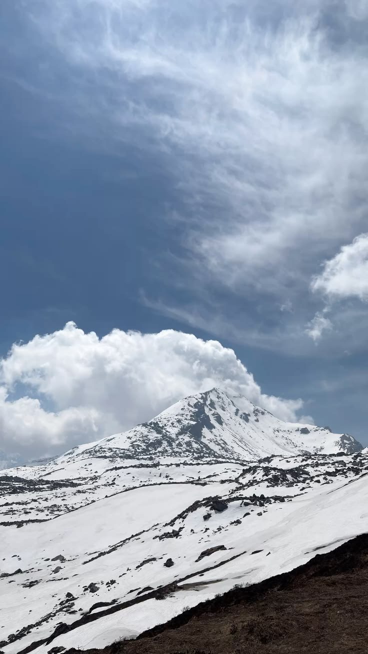
This is where the Pangarchulla route breaks away from the Kuari Pass trail. The path turns directly toward the peak and the gradient increases. Snowfields appear here even in October. High camp at 13,800 feet is exposed and genuinely cold — wind can be strong in the afternoon. Hot soup, warm layers, early sleep.

Day 5 - Summit Day: High Camp to Pangarchulla Peak and Back to Khullara

Trek | 9–10 hours

The alarm goes early morning, Crampons and ice axe from the beginning of the summit section. The climb is steep snow and scree — technically demanding enough to require full attention, but manageable with proper equipment and a competent guide. The summit at 15,069 feet delivers its panorama fully. Sit down, look around, and take it in properly before the descent. The return all the way to Khullara is a long day but the trail is familiar by now.

Day 6 - Khullara to Dhak, Drive to Rishikesh

Morning descent through the forest. Drive back to Rishikesh by evening.

Maps

Frequently Asked Questions

Do I need prior mountaineering experience for Pangarchulla?

Formal mountaineering training is not required, but at least one prior high-altitude trek (ideally to 13,000 ft or above) is strongly recommended given the technical summit section.

Will I need to use an ice axe and crampons even outside winter?

Yes. The summit ridge holds snow through most of the trekking season — crampons and an ice axe are standard equipment on this trek regardless of month.

Is this trek doable for someone in their forties or fifties?

es, provided fitness levels are good and there is prior high-altitude trekking experience. Age alone is not the limiting factor — cardiovascular fitness and altitude acclimatisation are what matter.

What if I cannot continue past high camp?

Trek leaders are trained to manage this. If you are unable to continue, you wait at high camp with a support staff member while the rest of the group summits, or descend with assistance if needed.

From ₹140.00

Book This Tour

Person Info

Adults
-
+
Children
-
+
Infant
-
+
Loader
Thank You

Booked Successfully

  • Details
Booking Summary

Pangarchulla Trek

0 Adults
0 Children
0 Infant

Have a question in mind

Looking for more info? Send a question to the tour agent to find out more.

From ₹140.00

Book This Tour

Person Info

Adults
-
+
Children
-
+
Infant
-
+
Loader
Thank You

Booked Successfully

  • Details
Booking Summary

Pangarchulla Trek

0 Adults
0 Children
0 Infant

You might also like

Your Question